The Role of 3D Modeling Laser Scanners in Modern Land Surveying
Inaccurate site measurements can delay designs, budgets, and construction projects. Traditional surveying methods often require more time and manual effort. These limitations make complex land assessments difficult for project teams. Modern scanning technology helps professionals capture detailed spatial information faster.
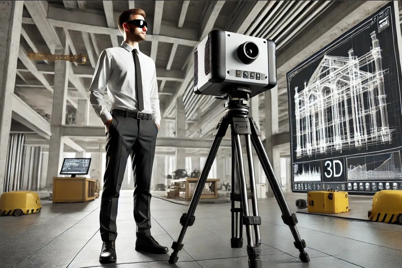
What Is 3D Laser Scanning in Land Surveying?
3D laser scanning captures accurate measurements of physical environments quickly. It uses laser technology to record surrounding surfaces digitally. Each measurement creates a point with three-dimensional spatial coordinates. Millions of these points form a detailed point cloud.
Surveyors use this information to understand existing site conditions. They can generate topographic maps, elevation models, and drawings. The resulting data supports better planning and informed decisions. It also reduces repeated site visits during project development.
How Does a 3D Modeling Laser Scanner Work?
A 3D modeling laser scanner measures distances using reflected laser signals. The scanner records millions of measurements from different positions. Specialised software then combines these measurements into point clouds. Professionals process this information to create accurate models. The typical scanning workflow includes several important stages:
- Site assessment: Teams identify scanning locations and project requirements.
- Data capture: Scanners collect measurements across selected site areas.
- Point cloud registration: Software aligns scans into one coordinate system.
- Data processing: Specialists remove unwanted points and classify features.
- 3D modelling: Engineers convert processed data into usable models.
- Final delivery: Teams provide drawings, models, and point clouds.
This workflow creates reliable digital records of existing conditions. Surveyors can examine details without repeatedly visiting project locations. Designers also receive better information before starting construction work.
Key Benefits of 3D Laser Scanning for Land Surveying
Traditional surveys capture selected measurements across specific locations. Laser scanning records much broader environmental information simultaneously. This difference creates several practical advantages for projects.
- Improved Measurement Accuracy
Laser scanners capture detailed measurements across complex physical environments. They help professionals identify dimensions and surface variations. However, accuracy depends on equipment and survey control. Calibration and processing also influence the final results. - Faster Data Collection
Large surveying projects often require extensive field measurements. Laser scanners capture millions of points within minutes. This reduces repeated measurements and unnecessary site visits. Project teams can access useful information much sooner. - Detailed Site Documentation
Point clouds preserve detailed records of existing conditions. Surveyors can examine surfaces, structures, and elevation changes. These records support future comparisons and design updates. They also improve communication between project stakeholders. - Better Safety During Surveys
Some surveying locations create serious risks for professionals. Examples include steep slopes and active construction environments. Remote scanning reduces exposure to certain dangerous areas. Teams can capture information without approaching every surface. - Reduced Project Costs
Measurement errors can cause expensive construction changes later. Accurate site information helps prevent avoidable design mistakes. Faster data collection can also reduce labour requirements. These improvements support better overall project cost management.
Major Applications of 3D Laser Scanning in Land Surveying
Modern surveying supports infrastructure, construction, and industrial development. 3D scanning provides useful information across these sectors.
- Land and Topographic Surveys
Topographic surveys help developers understand existing land conditions. Laser scanning captures elevation changes and surface features. Surveyors use this information for drainage and grading. It also supports site planning and terrain modelling. - Infrastructure and Road Development
Road and railway projects require accurate existing-condition information. Scanning helps document alignments, structures, and surrounding features. Engineers can examine site conditions before designing improvements. This supports better coordination during infrastructure development. - Construction Site Monitoring
Construction teams need accurate information throughout project execution. Repeated scans document changes across active construction sites. Professionals compare captured conditions against approved design models. This helps identify deviations before problems become expensive. - Industrial and Infrastructure Documentation
Large industrial facilities contain complex structures and equipment. Laser scanning captures pipelines, machinery, and structural arrangements. Engineers use these records for modifications and maintenance. It also supports accurate as-built documentation and planning. - Heritage and Environmental Documentation
Historical structures require careful documentation without physical disturbance. Scanning records architectural details for future preservation work. Environmental projects also benefit from detailed terrain information. Point clouds support analysis of slopes and landscapes.
From Point Cloud Data to Accurate 3D Models
Point cloud data becomes valuable through proper processing. Raw scans require alignment, cleaning, and quality checks. Specialists then extract useful information for modelling. The final outputs depend on project requirements.
Common deliverables include:
- 3D models: Detailed digital representations of surveyed environments.
- 2D drawings: Plans, elevations, sections, and technical drawings.
- Topographic surfaces: Digital terrain and elevation representations.
- Point cloud files: Detailed spatial datasets for further analysis.
- BIM models: Structured information supporting design and coordination.
Software such as AutoCAD supports drawing and modelling workflows. BIM platforms help teams coordinate complex project information. The correct output depends on engineering and client requirements.
3D Laser Scanning vs Traditional Surveying Methods
Both methods support accurate land measurement and documentation. However, their workflows and information outputs differ.
| Comparison |
Traditional Surveying |
3D Laser Scanning |
| Data collection |
Selected measurements |
Dense spatial measurements |
| Coverage |
Specific survey points |
Extensive visible surfaces |
| Fieldwork |
Often requires repeated measurements |
Captures many points quickly |
| Output |
Coordinates and survey drawings |
Point clouds and 3D models |
| Applications |
Boundaries and control measurements |
Complex site documentation |
| Limitations |
May miss detailed surface information |
Requires line-of-sight access |
Neither method replaces every other surveying technique. Project requirements determine the most suitable approach. Combining scanning with GNSS and total stations improves results. This integrated workflow supports dependable spatial documentation.
Challenges to Consider Before Starting a Scanning Project
3D laser scanning offers significant benefits across many applications. However, professionals must understand its practical limitations.
- Line-of-sight restrictions: Objects can hide surfaces behind them.
- Equipment investment: Professional scanning systems require substantial initial investment.
- Large datasets: Point clouds need suitable storage and processing.
- Technical expertise: Skilled professionals must process and interpret scan data.
- Environmental conditions: Reflective surfaces can affect measurement quality.
Careful planning helps teams manage these challenges effectively. Survey control also improves the reliability of collected information. Choosing suitable equipment remains important for successful project delivery.
How Edge 3D Technologies Supports Accurate Surveying
Edge 3D Technologies provides scanning and modelling solutions across industries. Its services support construction, industrial, marine, and heritage projects. The team uses FARO scanners for detailed data capture. Its scanning systems capture up to one million points. This supports detailed documentation of complex physical environments.
Edge 3D transforms scan data into useful deliverables. Its capabilities include:
- 3D laser scanning and point cloud processing.
- Accurate 3D models and detailed 2D drawings.
- BIM modelling and intelligent modelling workflows.
- Drone surveying for aerial data collection.
- Land surveys using GPS and total stations.
- Construction verification through scan-to-model comparisons.
These services support planning, design, and project coordination. Clients can receive outputs matching their software requirements. Edge 3D also supports as-built documentation and retrofits. Its solutions help teams make informed project decisions.
The Future of 3D Laser Scanning in Land Surveying
Surveying continues to adopt advanced digital technologies rapidly. AI tools can support point cloud classification. Drone-based LiDAR helps capture large and inaccessible areas. BIM and GIS integration improves spatial information management.
Digital twins also connect physical assets with digital models. These technologies support better monitoring and infrastructure management. Future workflows will increasingly combine multiple data sources. Surveying professionals must adapt to these evolving capabilities.
Conclusion
Accurate site information forms the foundation of successful projects. 3D laser scanning improves how professionals capture spatial data. It supports detailed modelling, safer workflows, and planning. Its value extends across infrastructure and industrial applications.
Choosing experienced specialists ensures reliable scanning and modelling results. Edge 3D Technologies delivers solutions for complex requirements. Its services help transform physical environments into actionable information. Contact Edge 3D to discuss your next surveying project.
Frequently Asked Questions
- What is a 3D modeling laser scanner?
A 3D modeling laser scanner captures detailed spatial measurements. It records millions of points across physical surfaces. Software converts these measurements into accurate digital models. - How does 3D laser scanning help land surveying?
It captures detailed information about terrain and surrounding structures. Surveyors use this data for mapping and planning. It also supports accurate site documentation and analysis. - What is point cloud data in surveying?
Point cloud data contains millions of spatial measurement points. Each point represents a location within three-dimensional space. Together, these points describe surveyed surfaces and structures. - Is 3D laser scanning more accurate than traditional surveying?
Scanning provides dense measurements across visible physical surfaces. However, accuracy depends on equipment and project requirements. Survey control and calibration remain essential for reliable results. - What industries use 3D laser scanning?
Construction, marine, industrial, and infrastructure sectors use scanning. Heritage and oil and gas projects benefit too. Each industry uses scanning for different documentation needs. - Can laser scanners create topographic maps?
Yes, processed scan data supports terrain modelling. Surveyors classify ground points and calculate elevations. These outputs help create topographic maps and surfaces. - What software processes 3D laser scanning data?
Professionals use specialised point cloud processing software. Common workflows include registration, classification, and modelling. AutoCAD and BIM tools support downstream engineering deliverables. - What affects 3D laser scanning accuracy?
Scanning distance and surface properties influence measurement quality. Environmental conditions can also affect collected data. Calibration and survey control help maintain accuracy. - How are drone surveys different from terrestrial scanning?
Terrestrial scanners capture detailed measurements from ground positions. Drone surveys collect aerial images and spatial information. Both methods support different site documentation requirements. - How can Edge 3D Technologies help with scanning projects?
Edge 3D provides scanning, modelling, and survey solutions. Its services include point cloud processing and BIM modelling. Contact its team to discuss your project requirements.